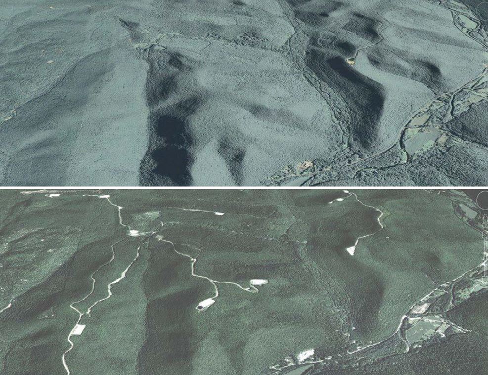
Structure/Infrastructure Network
As density of LiDAR data increases the number of man-made features discernible on the landscape increases as well. Tools for automatic structure recognition and extraction, conversion and attribution, and change detection will be important tools for planning, assessment, and resource management. Share your interest and knowledge in theis application sharing network.
Example applications:
- Change Mapping
- Structure Extraction
- 3D Buildings
- Building Heights
- Urban Viewsheds
Links:
- Mapping Buildings in Vermont: Transforming Lidar Data into Information Webinar - Jarlath O'Neil-Dunne, UVM Spatial Analysis Lab
- Leveraging LiDAR | Beta - Geoff Taylor, ESRI
- Extracting Buildings and Roads from AWS Open Data using Amazon SageMaker - Yunzhi Shi, Tianyu Zhang, and Xin Chen, Amazon ML Solutions Lab
- Creating New 3D Features (3D Analyst License & ArcMap) - ESRI
- 3D Modeling Tutorial with ArcGIS Pro - Mike Price, ESRI
- LAS Building Multipatch (3D Analyst & ArcGIS Pro) - Creates building models derived from rooftop points captured in lidar data. - ESRI
- ArcGIS CityEngine: Advanced 3D City Design Software - ESRI
- Extract Roof Forms for Municipal Development - ESRI
Become a member of the network:
If you are interested in joining the Structure/Infrastructure application network please complete the form below and and click the "Submit" button. Members of the network may be invited to attend conference calls or meetings and will be able to submit reference materials such as tools, code, scripts, papers, etc.
For additional information contact:
- Scottie Sheaffer [email protected]