Physiographic Sections

The Susquehanna River Basin includes eight physiographic sections which are finer subdivisions of the broader physiographic provinces. Differences in topography and geology form a basis for these natural landscapes and have guided settlement patterns throughout the Basin.
- Southern New York, Catskill, Allegheny Mountain and Kanawha Sections: make up the Appalachian Plateau Province, occupying 57% of the Basin and characterized by high, flat topped hills and deep valleys cut by rivers and streams.
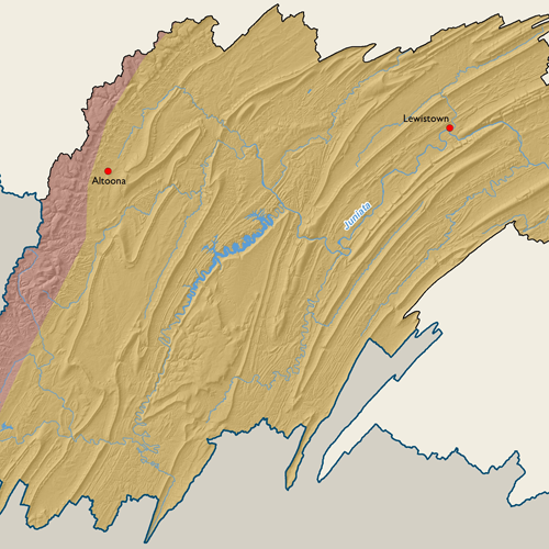
- Middle Section: only section of the Valley and Ridge Province, a mountainous region covering 32% of the Basin and containing ridges, rising from 500'-1,600' above the surrounding valleys.
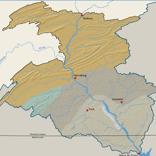
- Piedmont Lowlands and Uplands Sections: make up the Piedmont Province with relief ranging from 400'-600', this comparatively low relief allows a denser and more even population distribution than in the mountainous parts of the Basin.
- Northern Section: only section of the Blue Ridge Province covering South Mountain in the southcentral portion of the Basin.
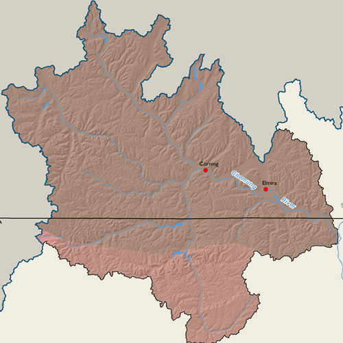
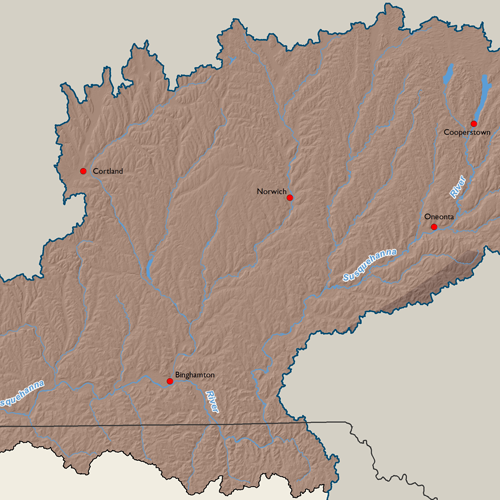
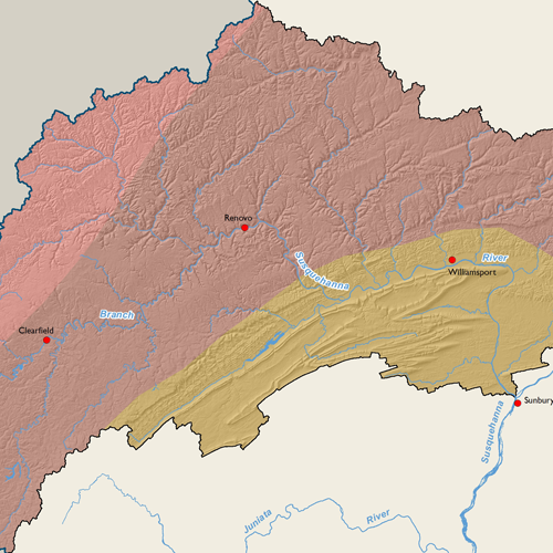
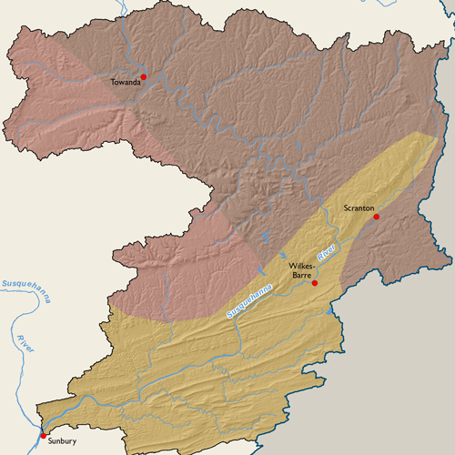
Subbasin Maps
Metadata
| GIS Dataset Title | Physiographic Sections, Susquehanna River Basin |
|---|---|
| Dataset Description | This is a polygon dataset of physiographic sections of the Susquehanna River Basin. It was digitized from Fenneman's 1:7,000,000-scale map, "Physical Divisions of the United States," which is based on eight major divisions, 25 provinces, and 86 sections representing distinctive areas having common topography, rock types and structure, and geologic and geomorphic history. |
| Date | 2006 |
| Scale | 1:7,000,000 |
| Agency | USGS |
| Download GIS Dataset | PASDA - Physiographic Sections |
| Metadata | Physiographic Sections, 2006 |