30-Year Average Precipitation

The Susquehanna River Basin has a continental type of climate, modified somewhat by the moisture periodically entering the area from the Gulf of Mexico and the Atlantic Ocean. As a result, precipitation is greater and temperature less extreme than would otherwise be the case.
Average annual precipitation is about 42" over the entire Basin and ranges from 32" in the northwest to 60" in the central east. In 2011, a record total of 73.73" of rainfall was recorded at Harrisburg, PA. Drought years have seldom recorded less than 25" at any station. Since annual rainfall is about 42", this means that more than 50 billion gallons of water per day, on the average, falls in the Basin. Average yearly precipitation rates generally result in 52% of the total water being lost to evapotranspiration and 48% resulting in surface water runoff and groundwater infiltration. Land use, soil, and vegetative cover affect surface runoff and evapotranspiration rates. For instance, in urban settings with large portions of impervious areas, surface runoff can approach 100%; in heavily forested areas, surface runoff is much lower and evapotranspiration is correspondingly higher.
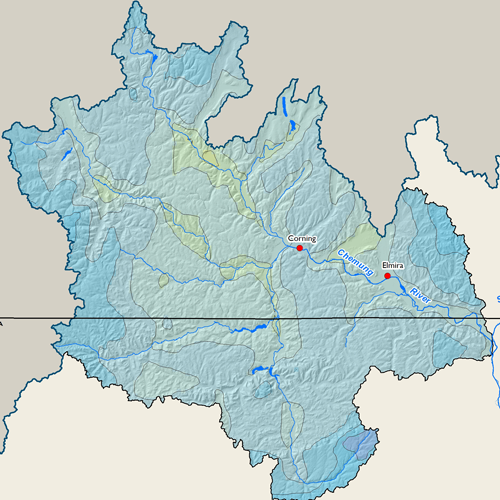
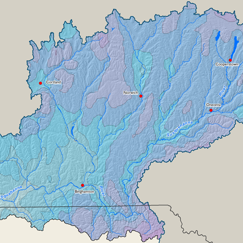
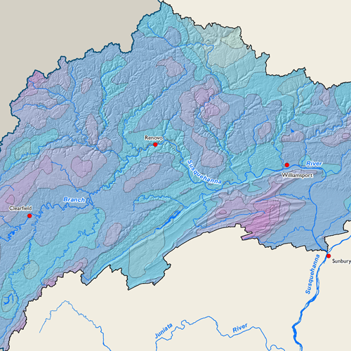
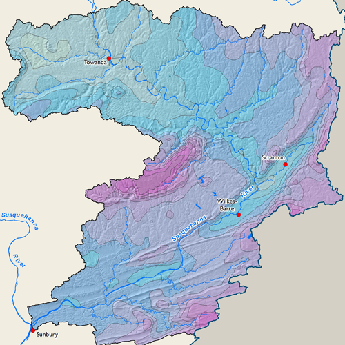
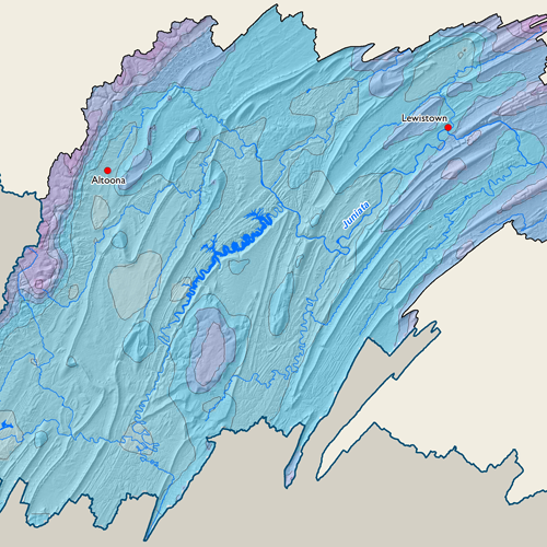
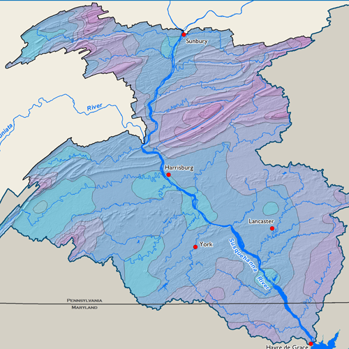
Subbasin Maps
Metadata
| GIS Dataset Title | 30 Year Average Precipitation, Susquehanna River Basin, 1991-2020 |
|---|---|
| Dataset Description | Monthly 30-year "normal" dataset covering the Susquehanna River Basin, averaged over the climatological period 1991-2020. Contains spatially gridded average annual precipitation in inches at 1,000m grid cell resolution. Distribution of the point measurements to the spatial grid was accomplished using the PRISM model, developed and applied by Dr. Christopher Daly of the PRISM Climate Group at Oregon State University. |
| Date | 2021 |
| Scale | 1,000 meter |
| Agency | PRISM Climate Group at Oregon State University |
| Download GIS Dataset | PASDA - 30 Year Average Precipitation |
| Metadata | 30 Year Average Precipitation, 1981-2010 |