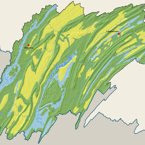
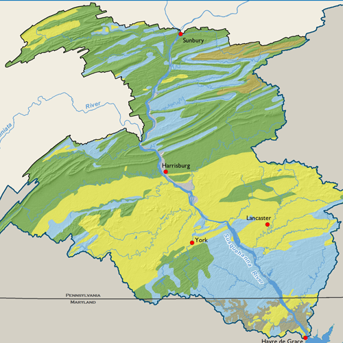
STATSGO Soils

Soil types vary largely throughout the Basin. In the northern glaciated areas, the deep soils on the sloping uplands are developed in glacial till and can range from well to poorly drained. The stream valleys contain deposits of glacial valley fill and are predominantly deep and well drained where materials are coarser versus poorly drained where deposits are finer. In the unglaciated part of the Appalachian Plateau, soils formed in materials weathered from sandstone and shale are deep with varying drainage.
Throughout the Appalachian Mountains, soils of the ridges are moderately deep, well drained, and very stony whereas soils of the shale valleys have varying thickness, are well drained, and feature moderate to steep slopes. Soils of the limestone valleys are predominantly deep, well drained, and productive. Soils in the southeast portion of the Basin are formed in parent materials weathered from a wide variety of rocks. The ridge soils are mostly deep, well drained, and very stony. Soils formed over shales and other softer rocks are generally deep, very fertile, and have varying drainage.
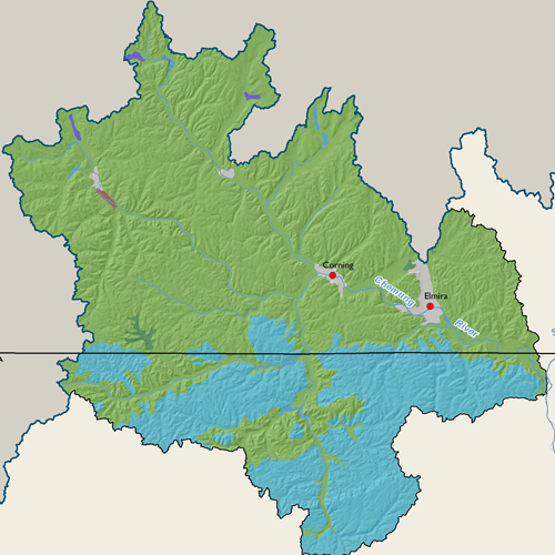
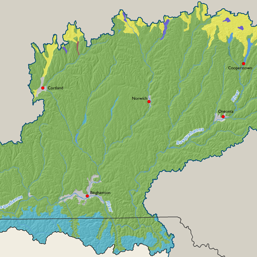
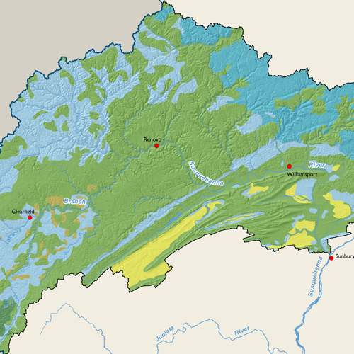
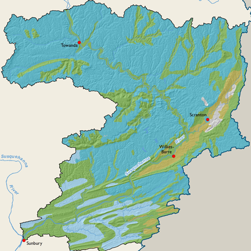
Subbasin Maps
Metadata
| GIS Dataset Title | State Soil Geographic (STATSGO) Database, Susquehanna River Basin |
|---|---|
| Dataset Description | This dataset is a digital general soil association map for the Susquehanna River Basin developed by the National Cooperative Soil Survey. It consists of a broad based inventory of soils and nonsoil areas that occur in a repeatable pattern on the landscape and that can be cartographically shown at the scale mapped. The soil maps for STATSGO are compiled by generalizing more detailed soil survey maps. The soil map units are linked to attributes in the Map Unit Interpretations Record relational data base which gives the proportionate extent of the component soils and their properties. |
| Date | 2006 |
| Scale | 1:100,000 |
| Agency | U.S. Department of Agriculture, Soil Conservation Service |
| Download GIS Dataset | PASDA - STATSGO Soils |
| Metadata | STATSGO Soils, 2006 |